So in light of the new planning application PN/23/96033 to allow access to the farm from Pembers Farm Avenue & to allow agricultural vehicles to travel through the residential estate, I decided to take a walk along the public footpaths that cross Pembers Hill Farm.
I wanted to see and understand for myself the access challenges that require, justify or explain new agricultural access.
Instead I found that the existing access is superb. The field in question already has two entrances and the new access onto Mortimers Lane approved in 2019 provides safe and convenient access to the farm & all fields.
I’m at a loss to explain why access at the top of Pembers Farm Avenue is of any agricultural benefit.
How many fields need three entrances I ask myself?
Please note that all gates on Pembers Hill Farm were already open apart from the Gate 1 onto Mortimers Lane.
The red line shows the route that is in common use judging from the tyre marks.
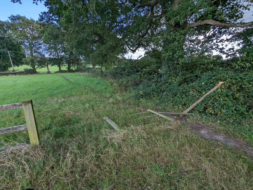
Now, I’m led to believe that Hall Lands Farm are cutting & baling the hay for the landowner of Pembers Hill Farm. From my walk the obvious, safe & convenient location for new agricultural access is point 8 on my map below. This is the border between the two farms and the fence has already fallen down in this location. The closed off gate near the top of Pembers Farm Avenue could be relocated here for barely any costs at all.
Map of Pembers Hill Farm
The red outline is the new Pembers Hill Park housing estate. The blue outline is the remaining farm land of Pembers Hill Farm. Each number represents a gate (apart from number 8 which would be a sensible place for a gate as you will see below). The red line shows the existing access to the field judging by the tyre marks.

Gate 1
New access directly onto Mortimers Lane as a result of F/19/84748 – 14/01/2019 – Construction of a new agricultural access from Mortimers Lane.
Remember this gate was approved and installed precisely because of the new Pembers Hill Park Estate.
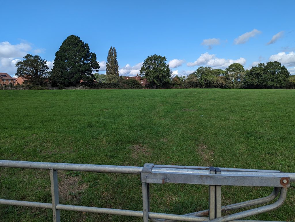

Gate 2
Tractor tyre marks show this is gate is in use.
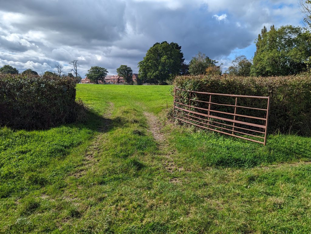
Gate 3
Photo taken from across the field zoomed in. The second shot shows the tyre marks across the field:
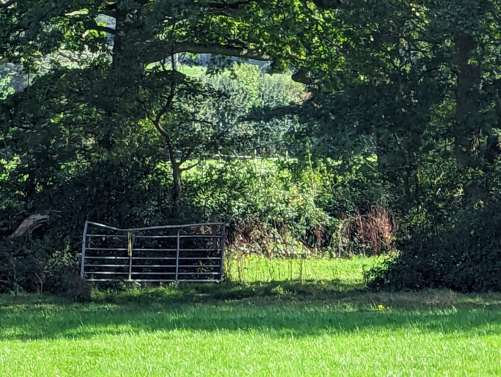
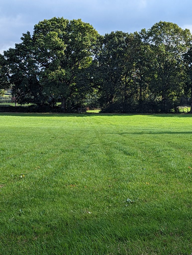
Gate 4
The gate proposed to be moved is just visible. This is one of the entrances to the field in question in the bottom right corner.
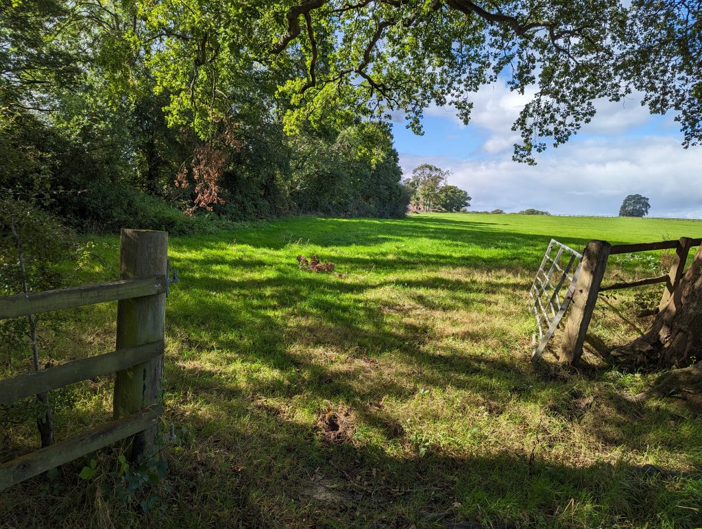
Gate 5
The tyre marks show this is a frequent route:
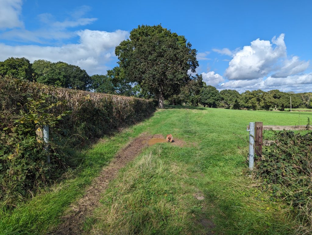
Gate 6
The ground here is drier, but again tyre marks visible:
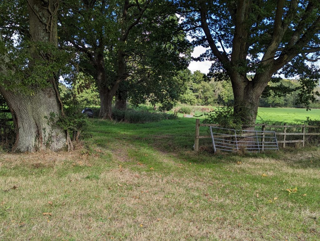
Gate 7
This is a key photo of the field in question. It clearly shows regular access to this field via this gate from the tyre marks. Amongst other houses No. 30 & No. 29 PFA are visible in this photo with the gate to be relocated on the opposite side of the field just hidden by the curve of the land:
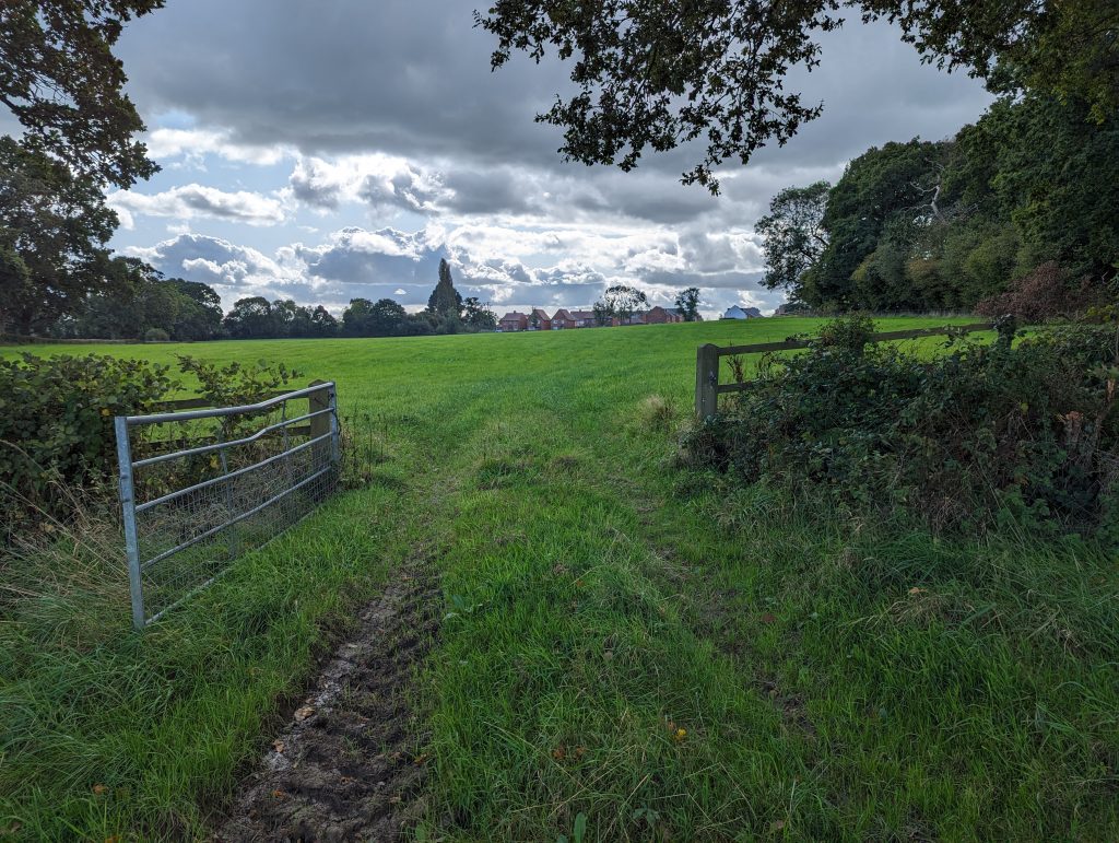
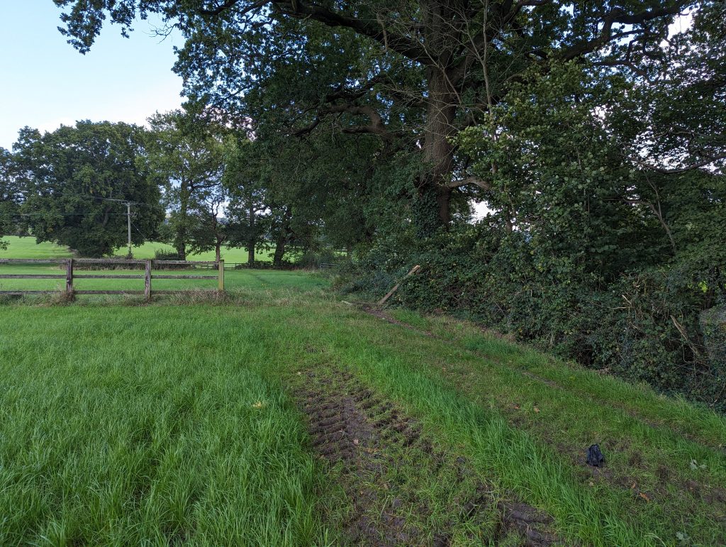
Not a Gate 8
This is the border between the two farms where the fence has fallen down. This would be the perfect place to relocate the gate and establish a safe & convenient right of way for agricultural use between the two farms. It’s also the closest point to the top of Hall Lands Lane by a country mile.
Gate 9
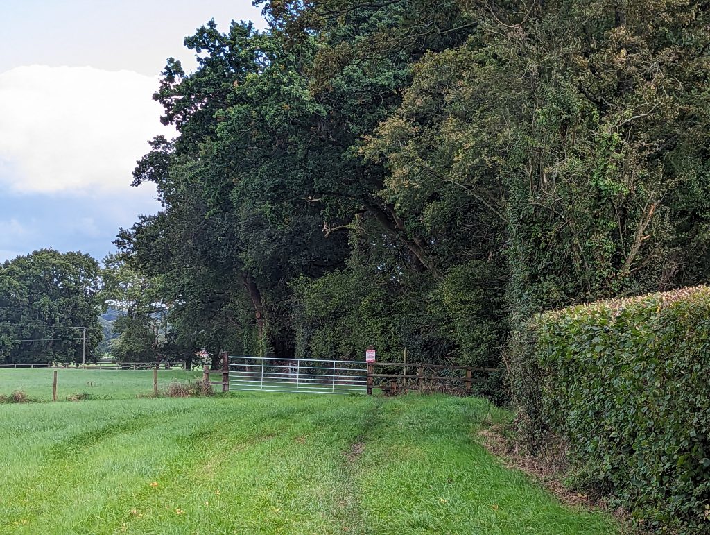
We’re now on Hall Lands Farm. This gate was closed. The top of Hall Lands Lane is just behind me in this picture.
One comment